Software development company specialized in
communication control and information network
About Micros Software
| HOME | Japanese | 中文 | Site Map | Access Map | Font size
|


In the ubiquitous network society, the close communication is focused on between things, people-to-products, and people-to-people.
The digital map technology, which expresses the location information, XYZ, and time axis, is the most important communication means.
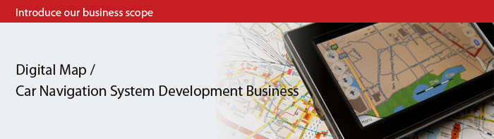
"The car navigation system" and "the geographical information system (GIS)," which is necessary in motorized society, are the representative case used a digital map. GIS, linking open space (geographic) information and attributes information, and being able to manage information in an integrated fashion, continues to make dramatic progress for tying up people with society as a possibility.
Micros Software has been developing "authoring tools," "the dynamic route search, route display, and voice guidance" for the car navigation system for many years. While we further pursue the technology and experience in map developing, we continue to challenge for "the digitalmap business" that can offer necessary information effectively anytime, anywhere.